01
Survey evaluation & design
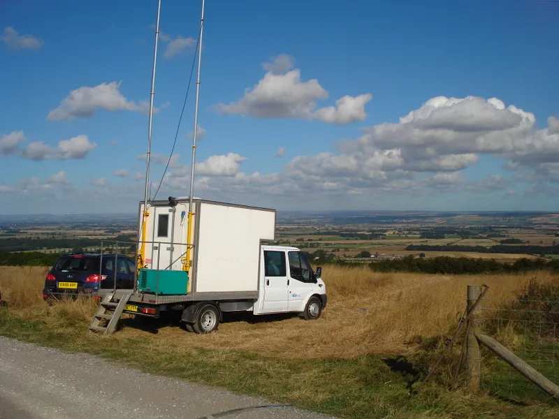
Geometry, fold, offset and azimuth modelled against the objective and the terrain, before a single flag is planted.
See the methodMuscat, Oman · Established 2011 · ISO 9001:2015
Africa Geophysical Services designs, acquires and processes land seismic surveys across desert, dense forest, mountain, populated ground and shallow water — from Muscat to the Great Lakes.
Who we are
AGS is a land seismic data acquisition and processing company headquartered in Muscat and working across East Africa, North Africa, the Gulf and beyond. We own our vibrators, our recording channels, our drilling rigs and our processing systems — and we recruit and develop local crews in every country we operate.
What we do
Survey design, field acquisition, in-field quality control and office processing — run by one accountable company, so nothing is lost in the handover between contractors.
Geometry, fold, offset and azimuth modelled against the objective and the terrain, before a single flag is planted.
See the method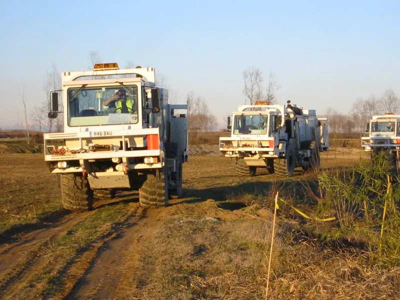
2D, 3D, 3D-3C, 4D and 4D-3C on Sercel 428, ARIES and nodal spreads, energised by a wholly owned vibroseis fleet.
See the capability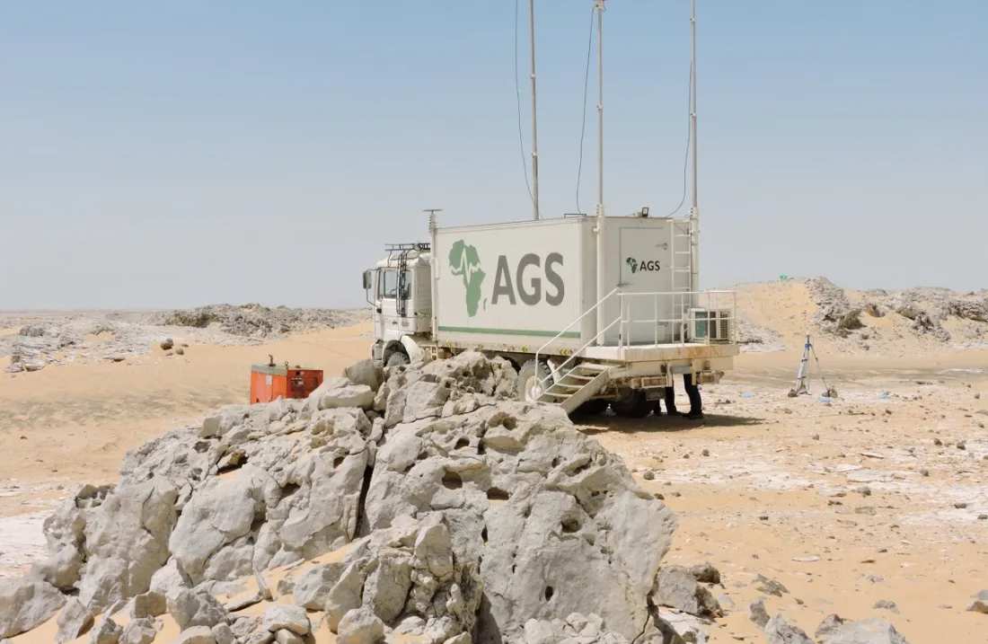
Field processing travels with the crew; ProMAX office processing carries the data through statics, velocity and migration.
See the sequenceHow a survey is built
Receiver line interval, source line interval and bin size are set by the target depth and the resolution the objective needs.
RTK GPS positions every source and receiver station to centimetric accuracy, and records the terrain as it is, not as the map says.
Cabled, distributed or cable-free nodal spreads, chosen by access, permitting and safety rather than by what is in the yard.
Vibroseis sweeps or shot holes. Every source point illuminates the subsurface and is recorded across the live spread.
Midpoints accumulate into bins. Fold is the number of traces that stack into each bin — and the reason a reflector survives noise.
Global reach
Headquartered in the Sultanate of Oman, with operational bases and registered offices through East Africa, North Africa, the Gulf, Kurdistan, Türkiye and the United Kingdom — and the logistics to move crews and equipment between them.
Registered office · operational base · logistics
Registered office · logistical support
Registered office · logistical support
Logistics · IMC GSL, Sheffield
Start a conversation
Send the basin, the target depth and the access constraints. A survey designer will come back with a geometry, a terrain plan and an honest view of what the ground will and will not give you.