S/01
Survey evaluation & design
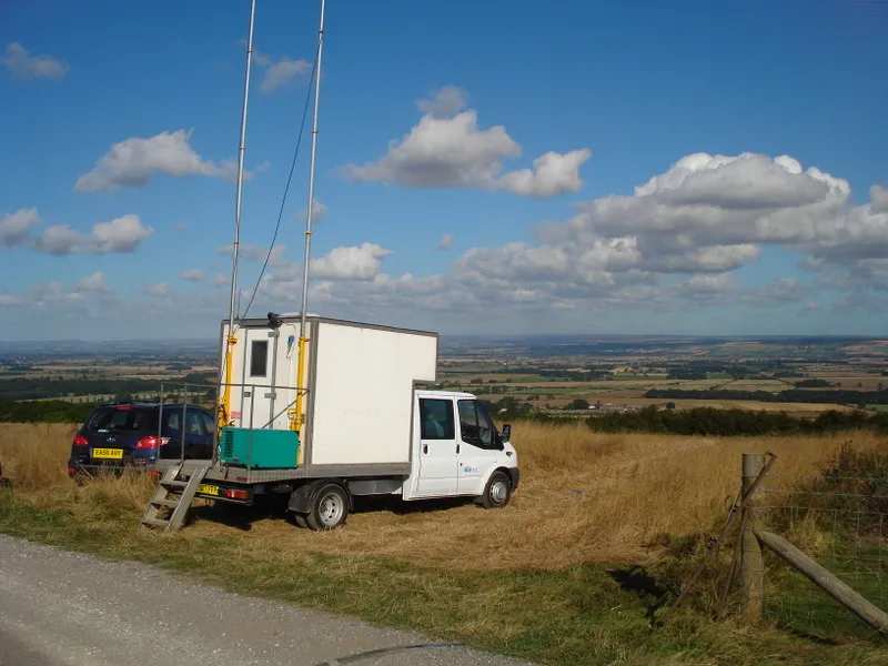
Bin size, fold, offset range and azimuth distribution are modelled against the target depth and the terrain the spread has to cross. The output is a geometry, a terrain plan and a realistic production rate.
Home / Services
Comprehensive seismic services from designing and acquiring seismic surveys through to processing and interpreting the result.
Bin size, fold, offset range and azimuth distribution are modelled against the target depth and the terrain the spread has to cross. The output is a geometry, a terrain plan and a realistic production rate.
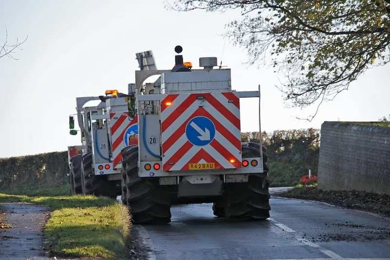
2D, 3D, 3D-3C, 4D and 4D-3C recording on Sercel 428, ARIES and nodal systems, with wholly owned fleets of vibrators and geophysical recording equipment.
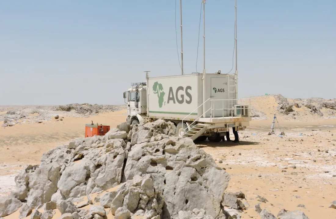
Field processing centres travel with the crew, so noise, statics and coverage problems are found while the spread is still live and can still be fixed.
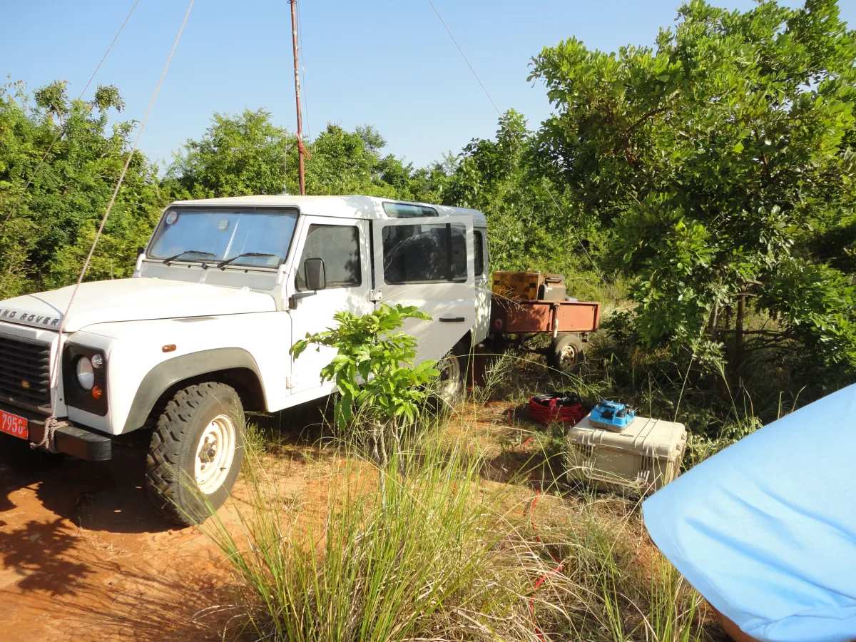
QC field processing and office-based processing on ProMAX, carrying the field data through statics, velocity analysis, noise attenuation and migration to an interpretable volume.
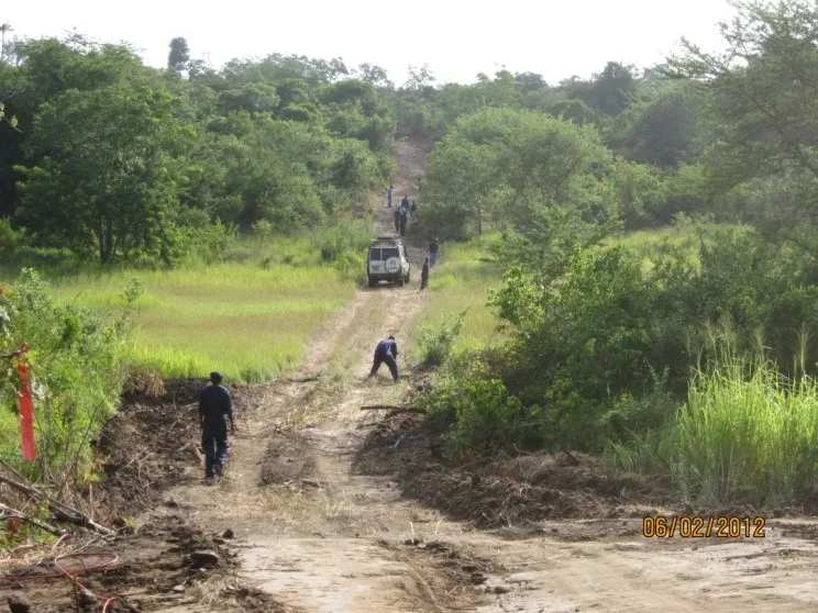
Near-surface velocity from upholes and low-velocity-layer refraction gives the static corrections that decide whether a deep reflector images sharply or smears.
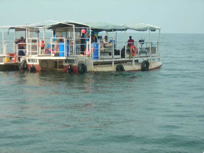
Real-time kinematic GPS positions every station, and shallow geophysical and shallow-water surveys extend the work to engineering, groundwater and transition-zone programmes.
Geometry
A source point sends energy into the ground; each receiver records what reflected off an interface and returned. The common midpoint between a source and a receiver is the place on the reflector that trace illuminates — and stacking many of them is what turns noise into an image.
Ray paths, reflector and the common-midpoint fan
Why it matters
The bandwidth a crew records sets the thinnest bed an interpreter will ever resolve. Move the dominant frequency below and watch two closely spaced reflectors merge into a single event.
Synthetic trace
A zero-phase Ricker wavelet at the dominant frequency you set, convolved with an illustrative impedance log and displayed as a variable-area wiggle — the convention on every land seismic section.