01
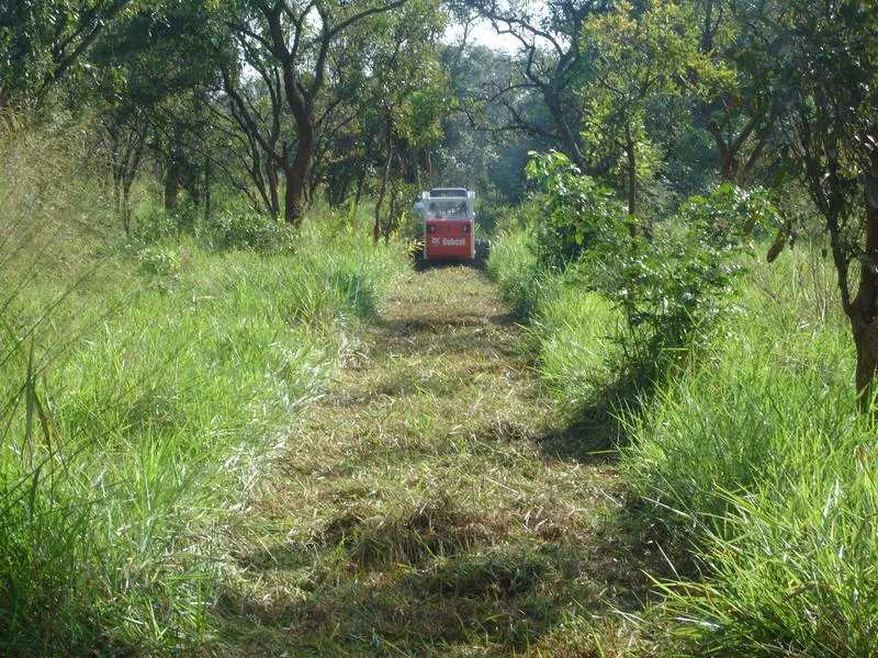
Line clearing & access
Cutting and reinstating access through bush, farmland and forest with the smallest footprint the geometry allows.
Home / Technology & fleet
Since 2011 AGS has acquired seismic vibrators, GPS survey units, drilling rigs and ProMAX data processing systems to support comprehensive field operations.
Densely sampled recording for large 3D spreads where cable telemetry remains the most economical route to channel count.
Distributed architecture suited to difficult access and long, thin 2D programmes across remote terrain.
Cable-free nodes for populated areas, farmland, dense forest and anywhere a cable spread would be a permitting or safety problem.
Controlled-source energy with repeatable sweeps — essential for 4D repeatability and for working close to infrastructure and communities.
In-house drilling for explosive source points and for the uphole programme that feeds the near-surface velocity model.
The same processing environment in the field camp and the office, so field QC products and the final sequence stay consistent.
Real-time kinematic positioning for station layout, topographic control and as-laid reconciliation.
What the equipment above is for: an imaged subsurface volume, here showing an anticline cut by a normal fault.
Support
Camps, line clearing, water, medical cover, vehicle maintenance and permit negotiation decide whether a production target is met as much as the recording system does.
Cutting and reinstating access through bush, farmland and forest with the smallest footprint the geometry allows.
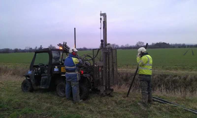
Shot hole and uphole drilling with in-house rigs, water supply and consumables managed by the same crew.
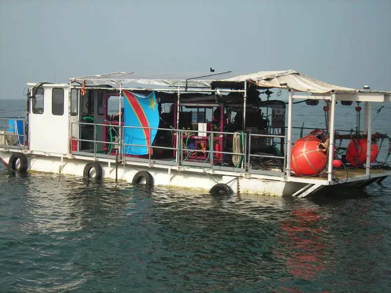
Recording barges, cable boats and shore crews for shallow water and transition-zone programmes.