P/01
Dynamite operations
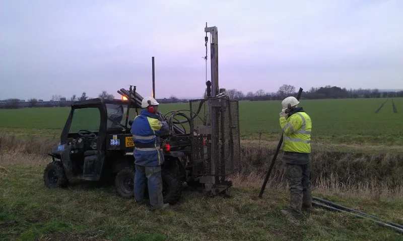
Shot-hole drilling with in-house rigs, for terrain where a vibrator cannot go or where the near surface demands a buried source. Includes the uphole programme that feeds the statics model.
Dense forestBushEast Africa
Home / Projects & programmes
AGS has been acquiring and processing land seismic since 2011 across Oman, Tanzania, Egypt, Uganda, Kurdistan, Türkiye and the United Kingdom. Below is how a programme actually runs, and the operations we run it with.
Programme types
Every AGS programme is one of these three, or a combination of them run from the same camp. Regions are the countries in which AGS holds offices or operational bases.
Shot-hole drilling with in-house rigs, for terrain where a vibrator cannot go or where the near surface demands a buried source. Includes the uphole programme that feeds the statics model.
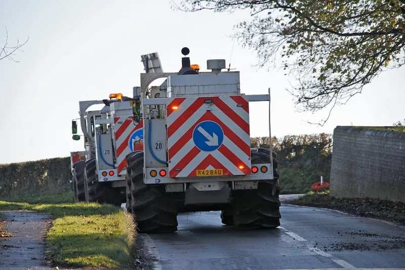
Wholly owned vibrator fleets running controlled, repeatable sweeps — the source of choice near infrastructure, in populated ground and on any programme where 4D repeatability matters.
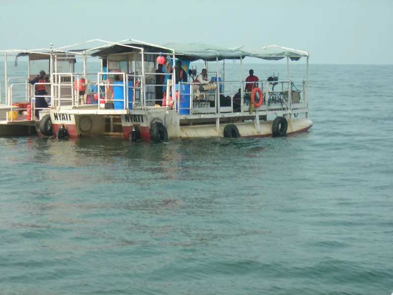
Recording barges, cable boats and shore crews carrying the spread from the shoreline into water too shallow for a marine vessel — the transition zone neither a land nor a marine contractor covers well.
Anatomy of a programme
Fleet, recording systems, drilling rigs and camp move onto the block. Equipment AGS owns arrives on an AGS schedule.
Landowners, authorities and the communities hosting the work are consulted before a line is cut. Access routes and no-go areas are agreed and mapped.
RTK GPS positions every source and receiver station; access is cut to the minimum the geometry allows, and recorded for reinstatement.
Shot holes and upholes are drilled and logged. Low-velocity-layer refraction gives the statics that decide whether a deep reflector images sharply.
Cabled, distributed or nodal spreads go down; vibrator sweeps or shot points energise the ground. Production is measured in source points per day.
Field processing travels with the crew. Noise, statics and coverage problems surface while the spread is still live and can still be fixed.
Lines are reinstated, the camp is cleared, and the data goes through statics, velocity analysis, noise attenuation and migration on ProMAX to an interpretable volume.
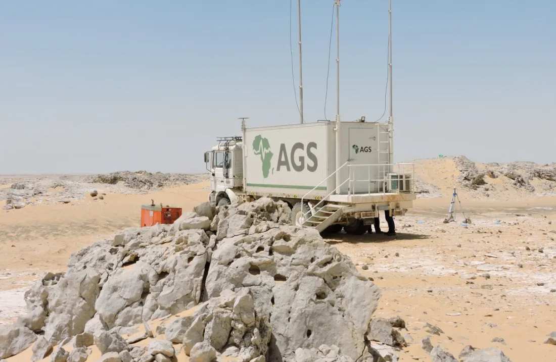
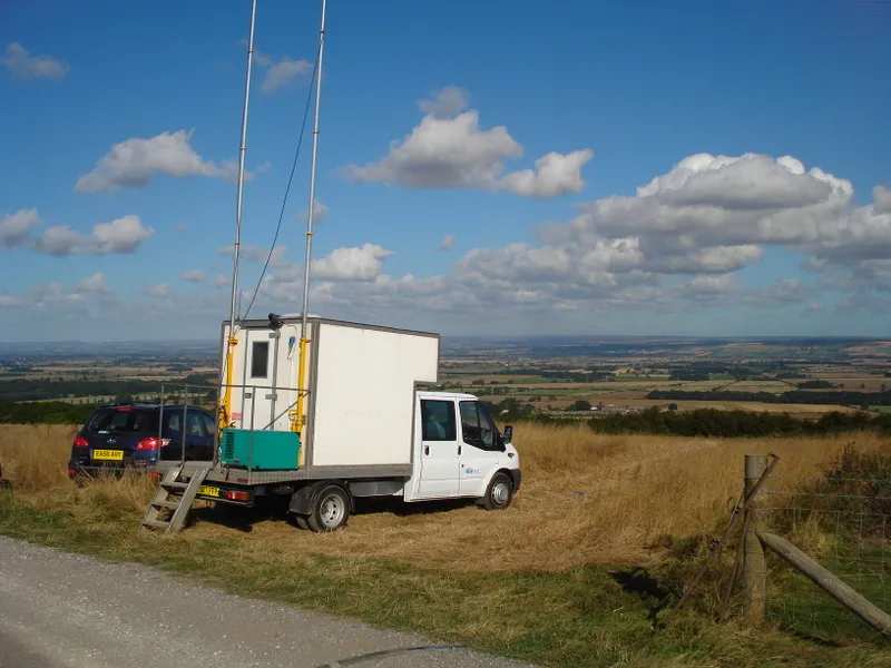
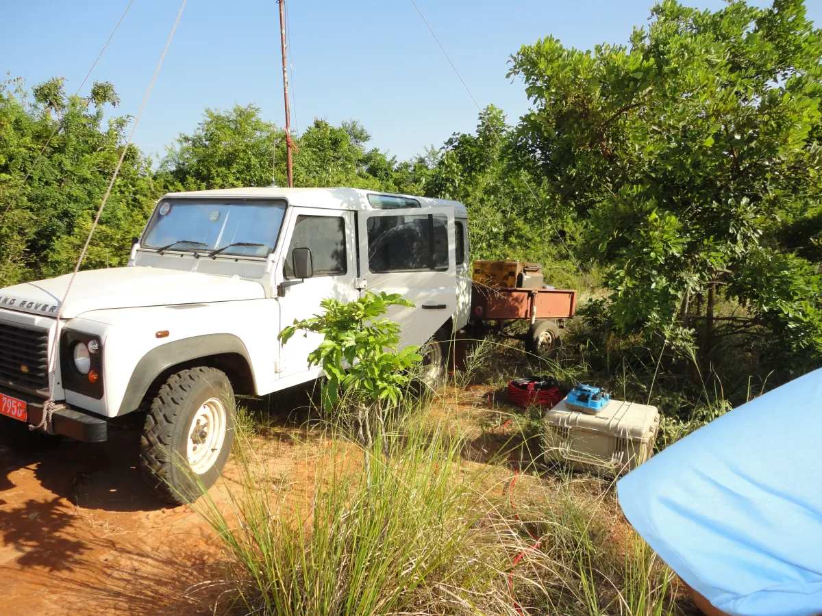
Footage and stills from AGS crews. Phase 07 renders the migrated volume the programme exists to produce.
Media library
Clips and photographs from AGS operations. Full-resolution originals, and project-specific sets tied to named surveys, are held by the company and supplied on request.
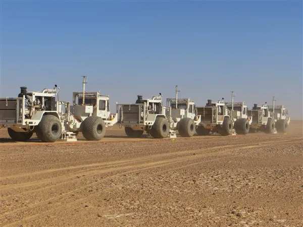
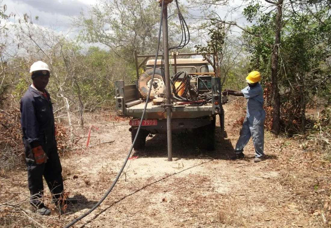
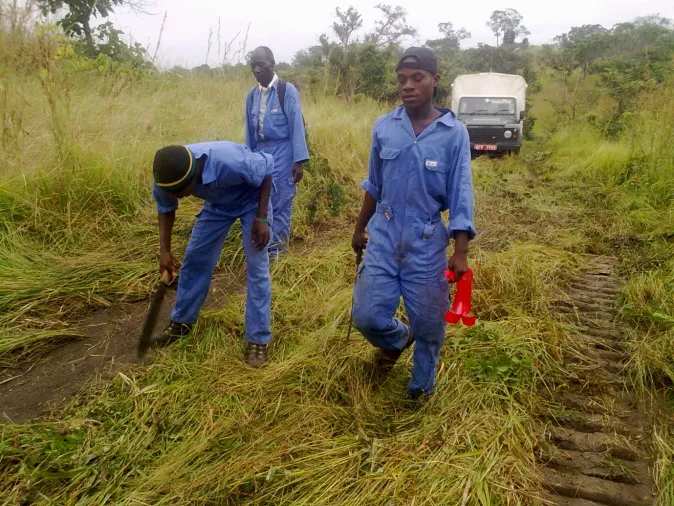
Note for AGS: the phases above describe how an AGS programme runs, not one named survey. Client names, block names, dates, line kilometres and channel counts are deliberately absent — send the real project records and they drop straight into this timeline.
Your programme
Send the basin, the target depth and the access constraints, and we will come back with a geometry, a terrain plan and a production estimate you can hold us to.